Showing 97–108 of 146 results
-
 Maritime€320,00
Mathias de Sallieth (1749 – 1791)
Staveren to be seen from the Zuiderzee (1795)
-
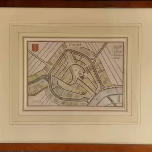 City maps€90,00
Caspar Merian (1627 – 1686)
Gouda (c. 1654)
-
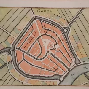 City maps€75,00
Caspar Merian (1627 – 1686)
Gouda (c. 1654)
-
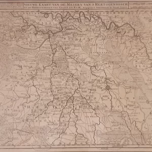 Old maps€275,00
Isaak Tirion (1705 – 1765)
New map of the Meiery of ‘s Hertogenbosch (1739)
-
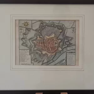 City maps€70,00
Isaak Tirion (1705 – 1765)
Ground plan of the city of Zutphen (ca. 1750)
-
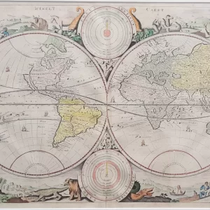 World maps€1.250,00
Daniel Stopendaal (1672 – 1726)
Werelt Caert (ca. 1700)
-
 Cityscapes€50,00
Anna Doedijns (1942)
Samenkerk Putte (1985)
-
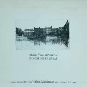 Cityscapes€650,00
Willem Minderman (1910 – 1985)
Image of a city, sixteen etchings of The Hague (1970)
-
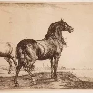 Engravings€200,00
Carel Allard (1648 – 1709)
Whinnying horse after Paulus Potter (ca. 1680)
-
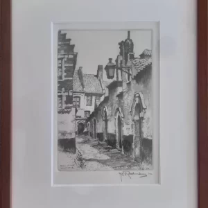 Cityscapes€50,00
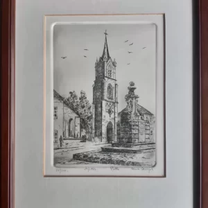
Hendrikus Elias Roodenburg (1895 – 1987)
Beguinage Kortrijk (1964)
-
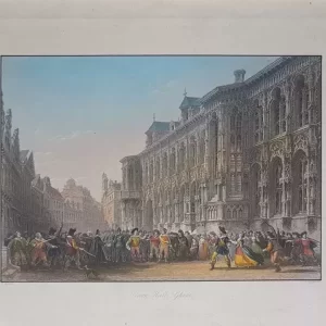 Cityscapes€50,00
Thomas Higham (1795 – 1844)
Town Hall Ghent (1840)
-
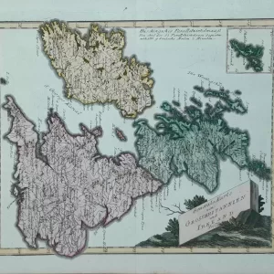 Old maps€110,00
Franz Johann Joseph von Reilly (1766 – 1820)
Karte von Grossbritannien und Ireland (1791)