Henricus Hondius is one of the most important Dutch cartographers. He possessed excellent engraving skills and great scientific accuracy. His atlases were a great success because the latest discoveries of Dutch, Spanish and English sailors were incorporated into the maps. Much attention was also paid to embellishing the maps through the use of cartouches, medallions with cityscapes or portraits and coats of arms.
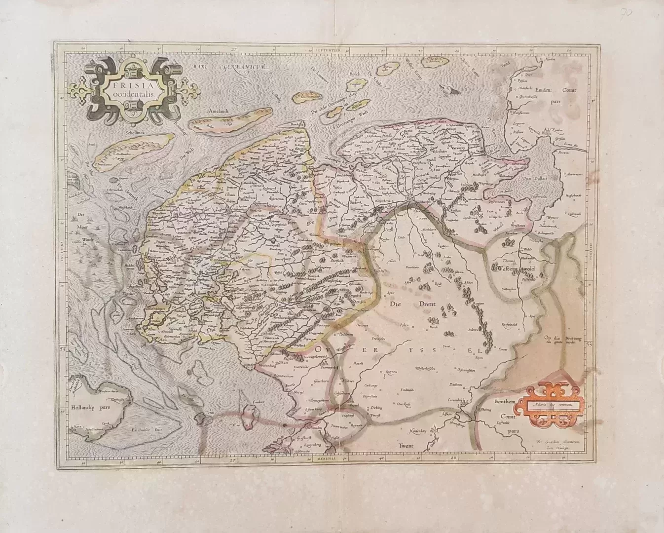
- illustration: original colored map of the province of Friesland and Groningen with the Wadden Islands, published in a Latin version of the 1638 Mercator-Honduis Atlas. Centerfold as issued
- year: 1623
- quality: good
- signed: no
- image size: 36.5 x 46.6 cm (h x w)
- sheet or frame size: 47.6 x 58.4 cm (h x w)

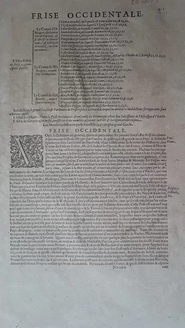
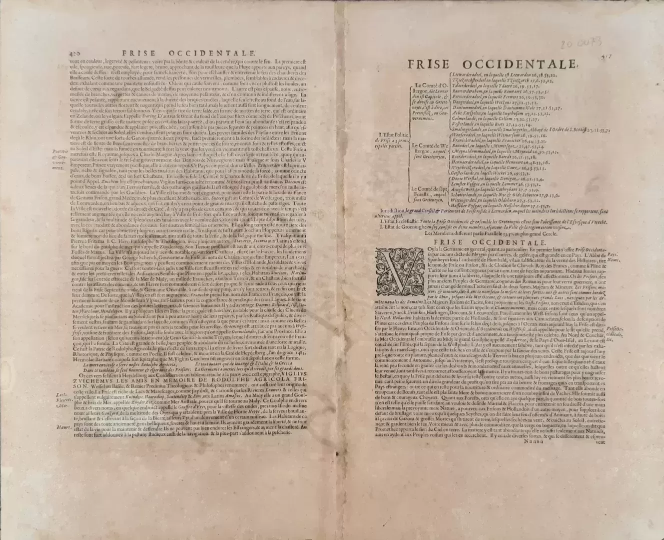
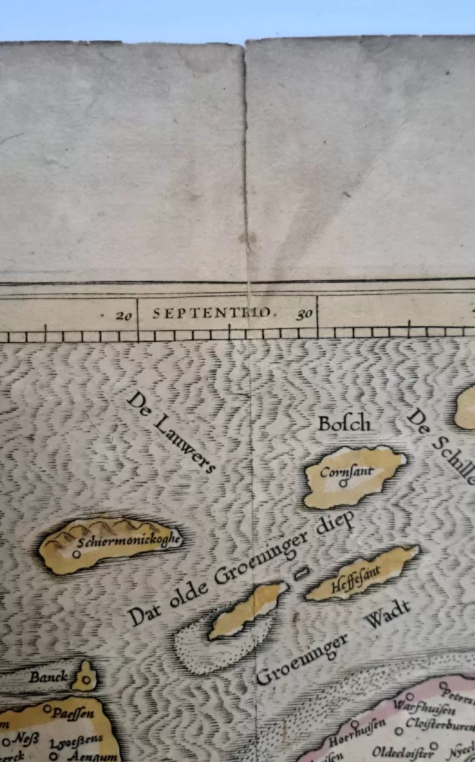
![Tractus regni Angliae septentrion[alis]](https://www.ca-art.nl/wp-content/uploads/2022/04/00329-website-300x300.webp)
