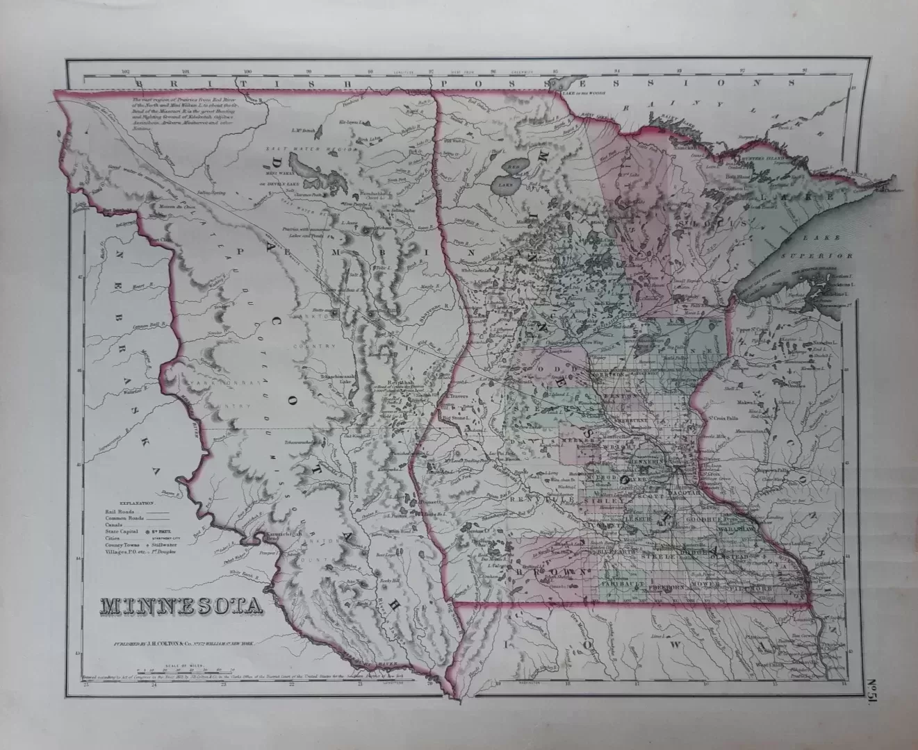
George Woolworth Colton was one of the best-known American cartographers in the mid-19th century. His father, Joseph Hutchins Colton (1800-1893) began publishing maps in New York in the 1830s.
- illustration: Colton’s township map of the state of Minnesota. Published in Colton’s Atlas Of The World, Illustrating Physical And Political Geography
- year: 1855
- quality: excellent/good, some discoloration in the margins
- signed: printed in plate
- image size: 30.3 x 40.5 cm | 11.9 x 15.9 in (h x w)
- sheet size: 36.0 x 43.9 cm | 14.2 x 17.3 in (h x w)