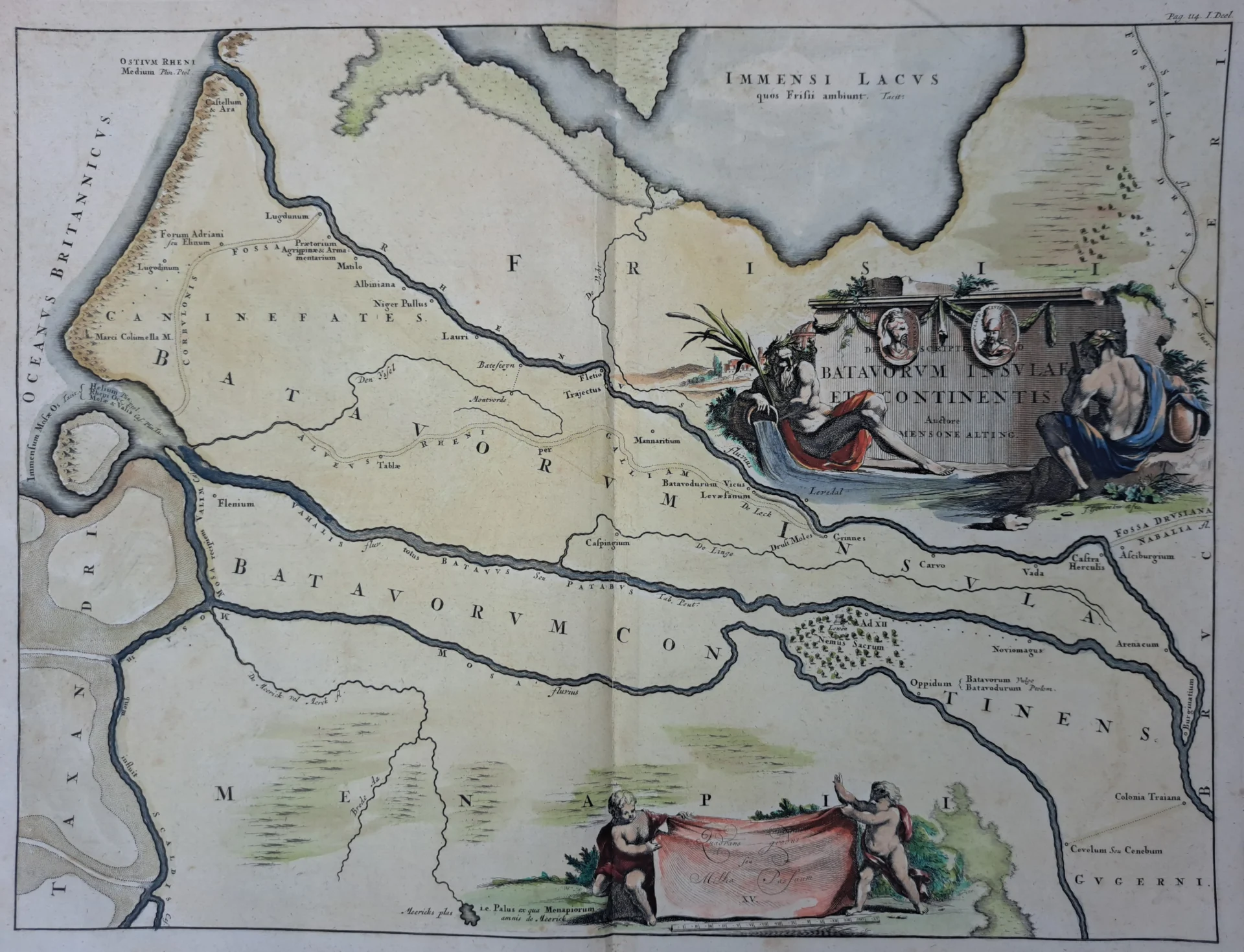
Menso Alting was a Dutch historian, cartographer, and engraver. This engraving was printed by François Halma (1653–1722), a Dutch printer and publisher. From 1709 Halma was Statendrukker van Friesland in Leeuwarden.
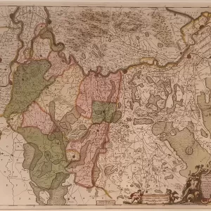
This large, decorative historical map shows the territory of the Batavi during Roman times, in what is now the southern Netherlands. The map depicts the so-called Batavian Island and the adjacent mainland, located between the major rivers Rhine, Waal, and Meuse. Various Roman settlements and historic waterways are also marked. The map was included in François Halma’s Tooneel der Vereenigde Nederlanden, published in 1725. The decorative cartouche, featuring figures and historical references, gives the map a very beautiful and distinctive look.
- image: a beautifully colored copper engraving of the southern Netherlands during the Roman Empire
- Year: 1725
- Quality: Excellent
- Signed: printed on plate
- Picture dimensions: 31.8 x 42.3 cm | 12.5 x 16.7 in (h x w)
- Dimensions of the sheet or frame: 39.3 x 46.9 cm | 15.5 x 18.5 in (h x w)