Showing all 4 results
-
 Old maps€60,00
Johannes Baptista Vrients (1552 – 1610)
Orbis Terrae Compendiosa Descriptio (1596 | 1967)
-
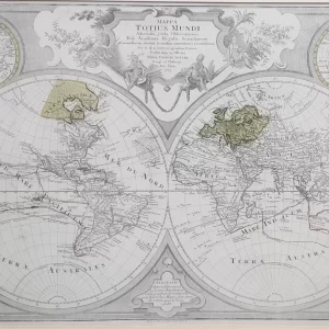 Old maps€800,00
Tobias Conrad Lotter (1717 – 1777)
Mappa Totius Mundi (1775)
-
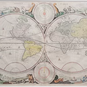 World maps€1.250,00
Daniel Stopendaal (1672 – 1726)
Werelt Caert (ca. 1700)
-
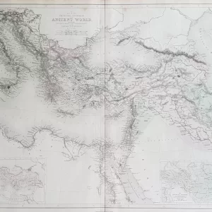 World maps€100,00
William Hughes (1818 – 1876)
Map of the Principal Countries of the Ancient World (1854)