Showing 37–48 of 51 results
-
 Old maps€70,00
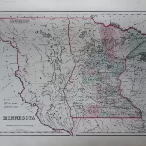
George Woolworth Colton (1827 – 1901)
Colton’s Minnesota (1855)
-
 Old maps€70,00
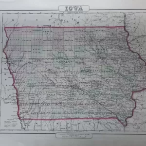
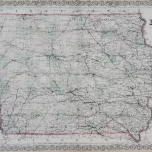
George Woolworth Colton (1827 – 1901)
Colton’s Iowa (1855)
-
 Old maps€300,00
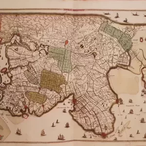
Frederick de Wit (1630 -1706)
NORTH HOLLANDT (1680)
-
 Old maps€550,00
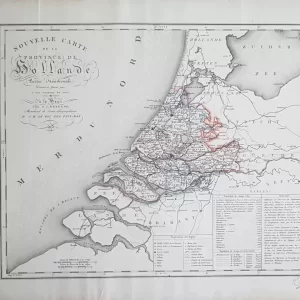
Cornelis van Baarsel (1761 – 1826)
Nouvelle Carte de la Province de Hollande partie Méridionale (1818)
-
 Old maps€125,00
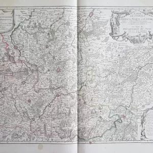
Guillaume Delisle (1675 – 1726)
Carte de Comtez de Hainaut, de Namur, et de Cambresis (1790)
-
 Europe€200,00
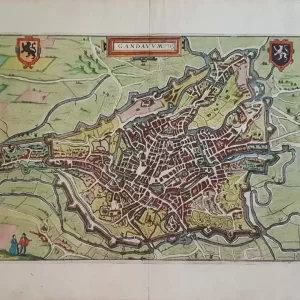
Lodovico Guicciardini (1512-1589)
Gandanum (1610)
-
 Old maps€350,00
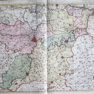
Nicolaes Visscher II (1649-1702)
Flandriae Comitatus pars orientalis (1690)
-
 Old maps€100,00
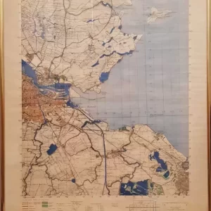
German staff map copied by the British in 1942, 1:50,000
Amsterdam area
-
 Old maps€50,00
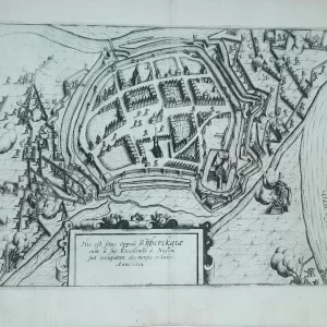
Lodovico Guicciardini (1521 – 1589)
Hic est situs oppidi rijberckgiæ (1612)
-
 Old maps€85,00
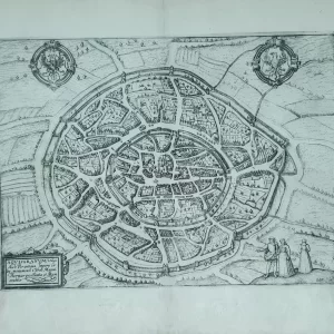
Lodovico Guicciardini (1521 – 1589)
AQVISGRANVM Vulgo Aich Per antiqua (1612)
-
 Old maps€75,00
George Woolworth Colton (1827 – 1901)
Colton’s Iowa (1878)
-
 Old maps€90,00
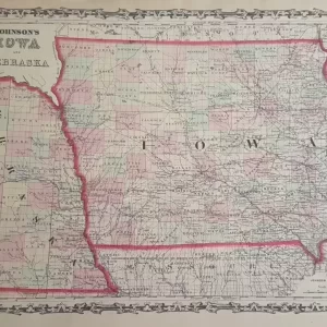
Alvin J. Johnson (1826 – 1884)
Johnson’s Iowa and Nebraska (1855)