Showing 109–120 of 146 results
-
![Tractus regni Angliae septentrion[alis]](https://www.ca-art.nl/wp-content/uploads/2022/04/00329-website-300x300.webp) Old maps€225,00
Old maps€225,00Johannes Covens (1997 – 1774) and Cornelis Mortier (1699 – 1783)
Tractus regni Angliae septentrion[alis] (ca. 1720)
-
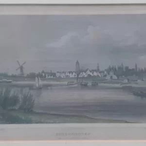 Cityscapes€60,00
Johannes Leonardus Terwen (1813 – 1873)
Schoonhoven seen from the riverside (1858)
-
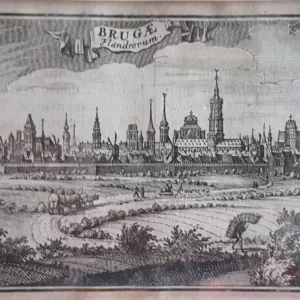 Cityscapes€150,00
Jacobus Harrewyn (1660 – 1727)
BRUGAE Flandrorum (1708)
-
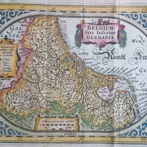 Old maps€250,00
Abraham Goos (1590 – 1643)
Belgium Sive Inferior Germania (1625)
-
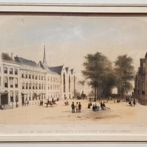 Cityscapes€100,00
Carel Christiaan Anthony Last (1808 – 1876)
View from the Ministry of Finance the Kloosterkerk and the Lange Voorhout (1857)
-
 Cityscapes€20,00
Carel Christiaan Anthony Last (1808 – 1876)
Frederick Square (1874)
-
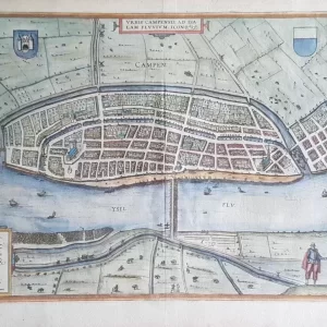 City maps€325,00
Frans Hogenberg (1535 – 1590) and Georg Braun (1541 – 1622)
Campen – Civitates Orbis Terrarum (1582)
-
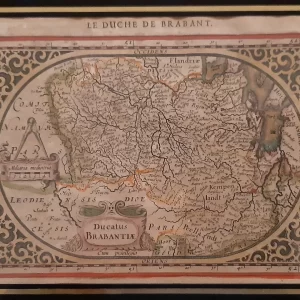 Old maps€200,00
Jan Janssonius (1588 – 1664)
Ducatus Brabantiae (1630)
-
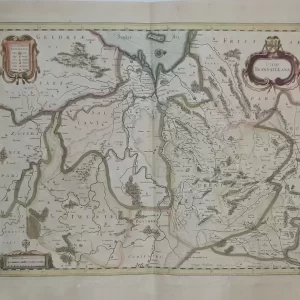 Old maps€350,00
Jan Janssonius (1588 – 1664)
Ditio Trans-Isulana (ca. 1638)
-
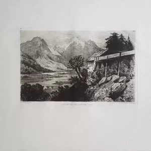
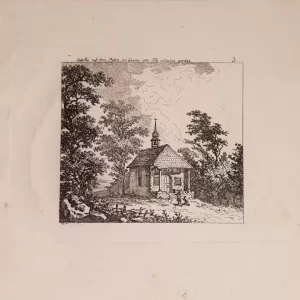 Engravings€30,00
Salomon Gessner (1730-1788)
Capelle auf dem Platz, wo Gessler von Tell erschossen worden (ca. 1770)
-
 Engravings€40,00
L. Dumas (19th century)
Le Rhône près de St. Gothard (1872)
-
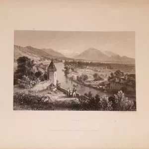 Engravings€30,00
Edward Francis Finden (1791 – 1857)
Engraving of Swiss village of Thun (1834)