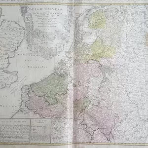
Old maps have a special charm; they reveal how people once saw and understood the world. The elegant compass roses on antique maps, together with detailed illustrations of ships, emblems, or mythological figures, evoke a sense of adventure and discovery. Many old world maps and historical charts were hand-colored, making each piece unique. Their craftsmanship and authenticity give these maps a timeless appeal.
Whether you are looking for a decorative piece or a valuable addition to your collection, antique maps always bring a sense of adventure and exploration. Discover our collection of old maps and find the historical chart that suits you best.
 Old maps€125,00
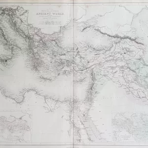 World maps€100,00
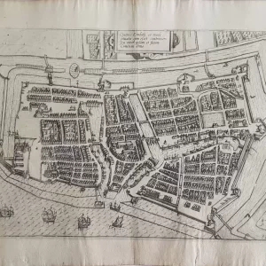 Old maps€85,00