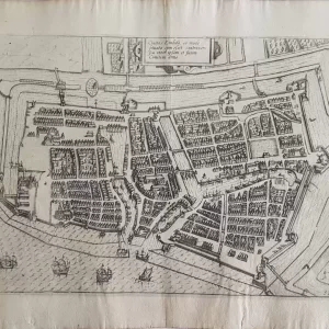
Old city maps offer a fascinating insight into how cities developed over the centuries. These maps show streets, squares and vanished buildings and ramparts that once defined the cityscape. Surveyors usually started with on-site measurements, using measuring instruments such as the theodolite and measuring chains to determine the distances and proportions of streets, buildings and ramparts. By studying old city maps, historians and enthusiasts can discover how trade routes ran and which neighbourhoods were important. Moreover, old city maps show how cities grew and changed, making them valuable sources for research and heritage conservation.
 Old maps€85,00